comprehensive land surveying services
Boundary Surveys | Land Development | Construction Surveys | Topographic Surveys | ALTA / NSPS Surveys | Permitting and Consulting
At SiteOps Land Surveying & Mapping, we specialize in providing comprehensive commercial land surveying services to meet all your project needs. Located in Prescott, AZ, our experienced team is dedicated to delivering precise and reliable survey solutions to support your development and construction projects.
Servicing Prescott and surrounding areas, central and northern AZ, and Phoenix metro areas
What We Offer
precise and reliable survey solutions
Why Choose Us
With years of experience in the industry, our skilled surveyors and technicians provide top-notch surveying services tailored to your needs. Our team stays updated with the latest industry standards and technological advancements to ensure we deliver the best possible results.
We utilize state-of-the-art technology and methodologies to ensure the highest level of accuracy in all our surveys. From traditional surveying techniques to cutting-edge drone technology, we combine precision with efficiency to provide superior service.
Our commitment to reliability means we deliver your survey results on time, helping you stay on schedule with your projects. We understand the importance of timely data and strive to provide prompt and dependable service.
We pride ourselves on our exceptional customer service, working closely with you to understand your requirements and exceed your expectations. Our team is dedicated to building lasting relationships with our clients through clear communication, responsiveness, and personalized service.
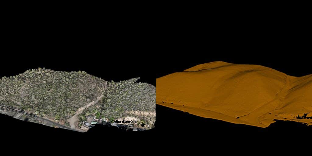
Tree vs no Tree #3
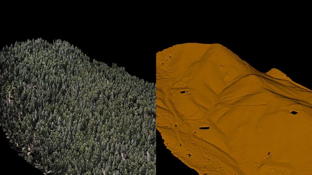
Side by side comparison showing the RGB photogrammetry mesh (left, full tree canopy and terrain visible) next to the bare ground surface model with vegetation filtered out (right, orange terrain). Demonstrates canopy penetration and ground surface extraction over a forested ridge with a road and structures visible.
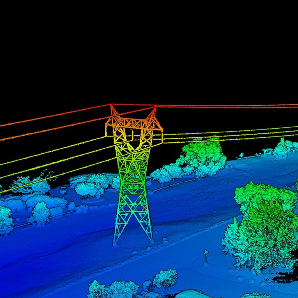
Power Line Tower
Colorized LiDAR point cloud of a transmission tower and overhead power lines, showing full 3D capture of the structure, conductor lines, and surrounding vegetation. Color gradient (blue to red) represents elevation.
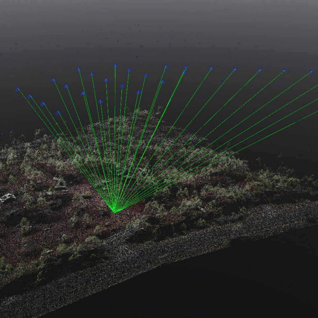
3D Visualization
Point cloud reconstruction with camera position markers (blue triangles) and viewing rays (green lines) showing the drone flight path and image capture geometry used to build the model of a forested slope.
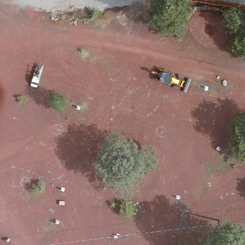
Construction Site with Paint Markings
Top down orthomosaic of a red dirt construction and survey site with ground control point markers, paint markings, survey flags, equipment (truck and excavator), and scattered vegetation. Used for site planning and survey reference.
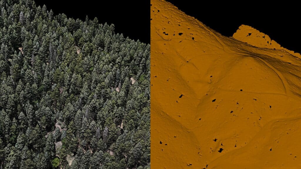
Big Pine Mine Tree vs no Tree #2
Comparison view of dense conifer forest canopy (left) against the bare earth terrain model with vegetation removed (right), showing underlying slope contours and drainage patterns at the Big Piny Mine site.
Big Pine Mine Tree vs no Tree #1
Wider angle version of the same tree versus bare earth comparison, showing forested terrain (left) next to the processed ground surface model (right) with visible ridge lines and structures.
Thumb Butte Rock Face in 3D
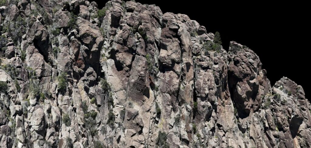
Close up textured 3D mesh of a rugged rock cliff face at Thumb Butte, showing detailed rock formations, crevices, and sparse vegetation captured through photogrammetry.
Thumb Butte Comparison
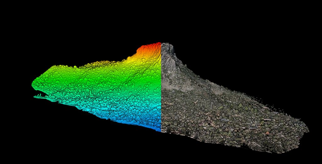
Split view of Thumb Butte showing a colorized elevation point cloud (left, blue to red gradient by height) next to the textured photorealistic model (right), highlighting the rock formation and surrounding tree cover.
Contact Us
SiteOps Land Surveying & Mapping – Your Trusted Partner in Precision and Excellence
Partner with SiteOps Land Surveying & Mapping for your next project and experience the difference that precision, reliability, and exceptional customer service can make. We look forward to working with you to ensure the success of your development projects.