Historical Evolution of Land Surveying Techniques
The evolution of land surveying, one of the oldest professions in the world, has undergone remarkable transformations over the centuries. From the rudimentary methods used by ancient civilizations to the high-tech solutions of today, the field of surveying has continually evolved, driven by the need for greater accuracy, efficiency, and convenience. This blog post provides an overview of the historical evolution of land surveying techniques, highlighting key milestones and innovations that have shaped the industry.
Ancient Beginnings
The origins of land surveying can be traced back to ancient Egypt around 3000 BC. The Egyptians used simple geometry to re-establish farm boundaries after the annual flooding of the Nile River. Their tools included ropes and primitive measuring devices. The Greeks and Romans later advanced these methods, using instruments like the Groma and Dioptra to measure angles and distances more accurately.
Medieval Innovations
During the medieval period, the evolution of land surveying techniques continued to develop, particularly in Europe. The introduction of the surveyor’s compass in the 14th century marked a significant advancement. This instrument allowed surveyors to measure angles with greater precision. Additionally, the chain, also known as Gunter’s chain, invented by Edmund Gunter in the 17th century, became a standard tool for measuring distances. The chain was 66 feet long, divided into 100 links, facilitating the measurement of acres and other land areas.
The Age of Enlightenment
The 18th and 19th centuries brought about substantial advancements in surveying due to the Age of Enlightenment and the Industrial Revolution. The development of the theodolite, an instrument for measuring horizontal and vertical angles, revolutionized surveying. Invented in the 16th century and refined over the years, the theodolite allowed for more precise measurements and became a staple in the surveyor’s toolkit.
In the late 18th century, Jesse Ramsden’s invention of the precision theodolite further enhanced the accuracy of surveys. The introduction of triangulation, a method of determining distances by measuring angles from two known points, was another significant milestone during this period. This technique laid the groundwork for modern geodetic surveying.
The 20th Century: A Technological Leap
The 20th century saw rapid technological advancements that transformed land surveying. The invention of electronic distance measurement (EDM) devices in the 1940s allowed surveyors to measure distances with unprecedented accuracy using electronic waves. This innovation drastically reduced the time required for surveys and improved the reliability of data.
The latter half of the century witnessed the advent of Global Positioning System (GPS) technology. Initially developed for military use, GPS became widely available for civilian applications in the 1980s and 1990s. This satellite-based system enabled surveyors to pinpoint locations with extraordinary accuracy, even in remote areas.
Modern Surveying Techniques
Today, land surveying relies heavily on advanced technologies that offer unparalleled precision and efficiency. Key modern techniques include:
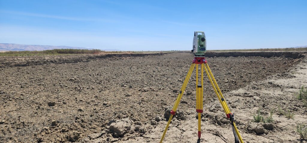
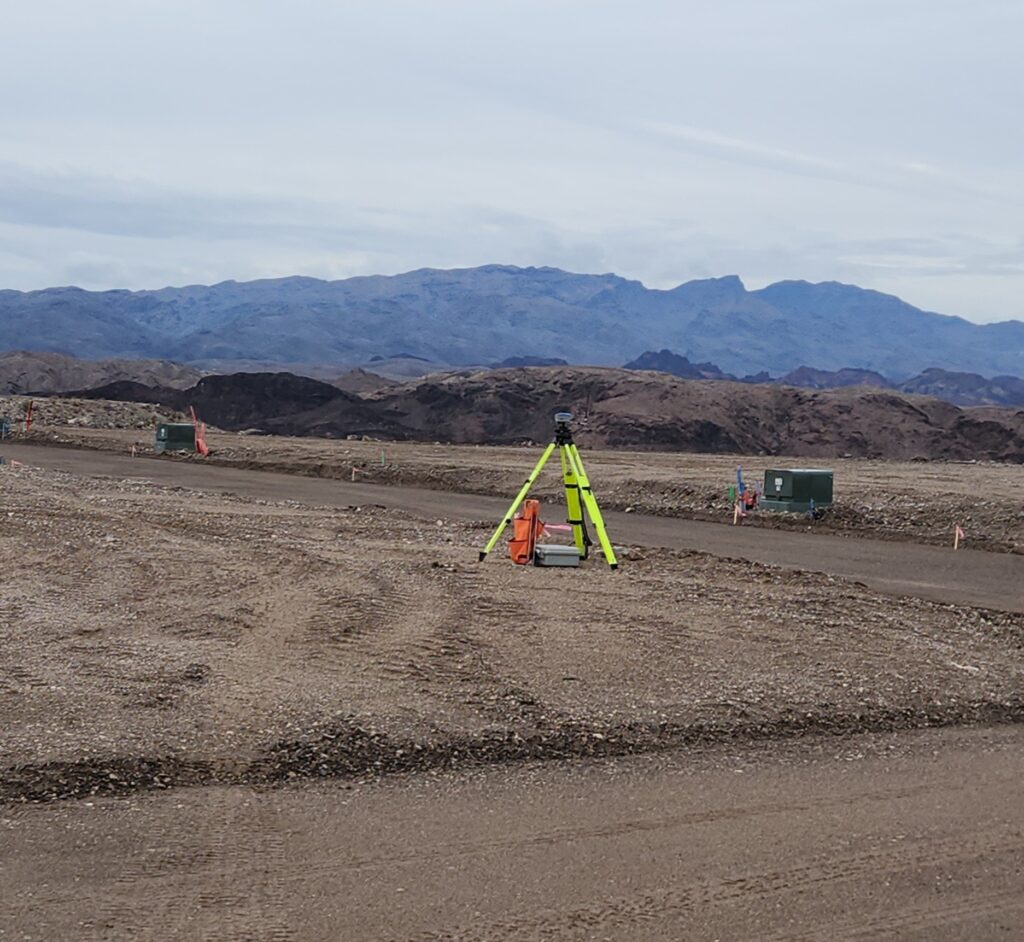
- Total Stations: These electronic/optical instruments combine the functions of a theodolite and EDM, allowing surveyors to measure angles and distances simultaneously. Total stations also store data digitally, facilitating easy transfer and analysis.
- LiDAR (Light Detection and Ranging): LiDAR technology uses laser pulses to create detailed 3D maps of the terrain. It is especially useful in topographic surveys, environmental studies, and urban planning.
- Unmanned Aerial Vehicles (UAVs): Drones equipped with high-resolution cameras and GPS technology can capture aerial images and data, making surveys faster and safer, especially in challenging or hazardous areas.
- GIS (Geographic Information Systems): GIS technology allows surveyors to store, analyze, and visualize spatial data. It integrates various data sources to create comprehensive maps and models, enhancing decision-making processes in planning and development projects.
Comparing Traditional and Modern Techniques
The evolution from traditional to modern surveying techniques has brought significant improvements:
- Accuracy: Traditional methods relied heavily on manual measurements and simple instruments, which were prone to errors. Modern technologies like GPS and LiDAR offer millimeter-level precision.
- Efficiency: Surveys that once took days or weeks to complete can now be done in hours with modern equipment. Drones and total stations significantly speed up data collection and processing.
- Safety: Surveyors no longer need to traverse dangerous terrains or climb tall structures. Drones and remote sensing technologies ensure safety while still collecting necessary data.
- Data Management: Modern surveyors benefit from digital data storage and analysis. GIS platforms allow for the integration and visualization of complex data sets, which was impossible with traditional paper maps and records.
The journey of land surveying from ancient rope stretchers to sophisticated drones and GPS systems highlights the remarkable advancements in this field. Each innovation has contributed to making surveys more accurate, efficient, and safe. As technology continues to evolve, the future of land surveying promises even greater advancements, further enhancing our ability to understand and manage the world around us. Embracing these technologies is essential for surveyors aiming to provide the highest quality service in today’s fast-paced and ever-changing environment.