Topographic Surveys
Drone Mapping and Topographic Surveys in Prescott, AZ
Providing precise and comprehensive topographic survey services to support a wide range of development and construction projects. Utilizing advanced technology and expert techniques, our experienced team delivers accurate topographic data essential for effective planning and design.

Aerial Photogrammetry
Aerial photogrammetry is a powerful tool for creating detailed topographic maps. By capturing high-resolution aerial images, we produce accurate 3D models of the terrain. This method is ideal for large areas and complex sites, providing critical data for planning and analysis.
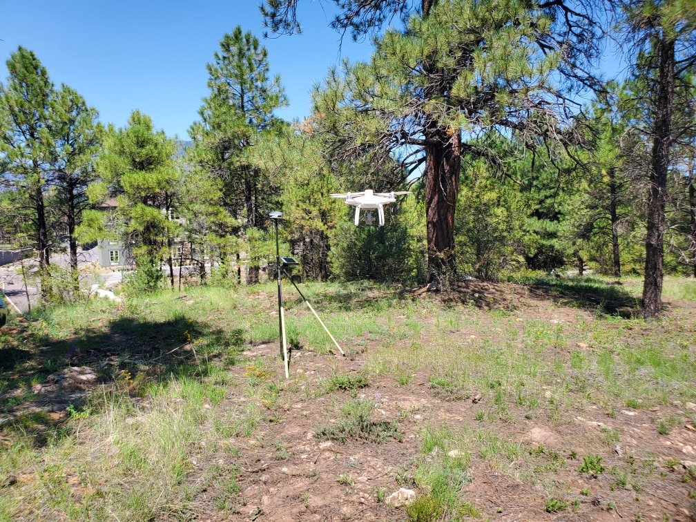
Topographic Mapping Using Drones
Our topographic mapping services utilize drones equipped with advanced sensors to capture precise elevation data. Drones offer a flexible and efficient solution for mapping diverse landscapes, delivering high-quality topographic maps that support your project’s needs.

RTK GPS
Real-Time Kinematic (RTK) GPS technology enhances the accuracy of our topographic surveys. By providing real-time corrections to GPS data, RTK ensures high precision in measuring land elevations and features, making it a valuable tool for detailed site surveys.

FAA Licensed & Certified Drone Pilots
Our drone operations are conducted by FAA licensed and certified drone pilots, ensuring compliance with all regulations and safety standards. Our skilled pilots capture accurate aerial data, delivering reliable topographic maps for your projects.
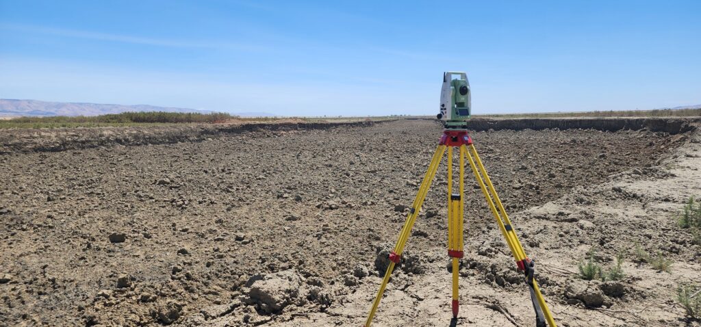
Robotic Total Stations
We utilize robotic total stations to conduct precise land surveys. These advanced instruments provide accurate measurements of distance, angle, and elevation, enabling detailed topographic mapping of your site. Robotic total stations are especially useful for complex and large-scale projects.
Ready to start your next development project? Contact SiteOps Land Surveying & Mapping today to discuss your commercial and residential land surveying needs.
Expert land surveying services in Flagstaff for both commercial and residential projects.
Comprehensive land surveying services in Sedona, supporting both commercial and residential development and construction.
Specialized land surveying services in Kingman, AZ, for accurate site planning and development of both commercial and residential projects.

Contact Us
SiteOps Land Surveying & Mapping – Your Trusted Partner in Precision and Excellence
Partner with SiteOps Land Surveying & Mapping for your next project and experience the difference that precision, reliability, and exceptional customer service can make. We look forward to working with you to ensure the success of your development projects.
